Tuolumne Rafting Overview
Tuolumne River (also referred to as the Main Tuolumne) Rafting trips are know for numerous rapids, remote camping and pristine water. Rafting and kayaking are possible all summer which makes it an ideal destination for Bay Area boaters as well as tourists heading to Yosemite.
Pronounced “too-all-uh-me, ” this run was the cutting edge of the sport in the early days of whitewater rafting and kayaking during the late 1960’s. Today it is still considered one of the more challenging rivers in the west with over 25 class III and IV rapids. Due to it’s unique attributes the Tuolumne River received Wild and Scenic River status in 1984.
Meral’s Pool to Ward’s Ferry
Length: 18 miles/ 1 to 3 days
Class: IV+ (IV – V above 3500 cfs)
Gradient: 35 ft/mile
Shuttle: 1.5 hour/ 30 miles
Recommended Flows: 700 to 10000 cfs at Meral’s Pool
Season: April to Sept., Scheduled Releases
Permits: Forest Service
Video: Tuolumne River Rafting
Private Permits
Between May 1st and October 15th (water usually stops flowing around September 1st) private groups are required to have a Tuolumne River permit from the Stanislaus National Forest. Most weekdays paddlers can pick up a permit the morning of their trip. For summer weekends and holidays it is best to purchase a permit in advance since the Forest Service does at times run out of space.
The online information has not been working consistently so it is best to call them at (209) 962 – 7825. Permits were $15 for groups smaller than 10 in 2019. The Forest Service office is at 24545 Highway 120.
Forest Service Video about Private Tuolumne River Trips
Tuolumne River Shuttles
Leaving cars at take-out over night is ill-advised. So if you are on a two-day trip it is best to have a vehicle shuttled to take-out on the day you take-out. While leaving vehicles at put-in is an option, it is a long drive at the end of the day to go down there a pick-up vehicles. There are two ways that people typically set up shuttle. Each leg takes about 45 minutes to drive. Meral’s Pool to Casa Loma and Casa Loma to Ward’s Ferry Bridge.
High Cost Shuttle Option
Drive all your vehicles to put-in and pay Tuolumne River Shuttles $180 per car to drive all your vehicles to take-out on the day you get off the river. Typically cars are driven out of the canyon the day you launch and left at Casa Loma until the day you take-out. From take-out it is a much shorter drive back to the Sacramento and the Bay Area than going back to Casa Loma.
The Budget Option
The common practice is to have all the vehicles drive down to put-in and drop off gear. Then everyone pumps up and rigs rafts while the drivers take all the cars up top. At this point they all drive back down in one vehicle which they pay Tuolumne River Shuttles to shuttle out of the canyon and then to take-out the day their trip ends. At the end of the trip the drivers run shuttle to get all the cars from Casa Loma while everyone else hauls gear up the trail to Ward’s Ferry Bridge.
The South Fork Road Alternative
Some groups will leave vehicles at the top of the South Fork Road and hike in that way. It is a nice walk in the morning that takes around an hour and saves running vehicles up and down treacherous Lumsden Road to Meral’s Pool.
Tuolumne River Rafting Season
Rafting the Tuolumne River is always fun. The road typically opens sometime in April. Holm Powerhouse stops releasing boatable flows at the end of August. The conditions wary dramatically through the season and year to year depending upon the snowpack.
Pre-Permit Season
April doesn’t require a permit and can be a fantastic time to be on the river. The water is usually in that nice flow around 2500 cfs. Unfortunately, the road to put-in is sometime locked so call in advance to see if it is open.
April and May
The least rafted and maybe the best time to run the river is in late April and May. The water is consistently fun without being scary, there are numerous waterfalls and the hillsides are green with vibrant wildflowers.
June High Water
Early June brings the largest of the snowmelt creating huge Class V conditions with the water running between 5000 and 10000 cfs after a big winter. At this time of year it is difficult to hike up the side creeks like the Clavey River and North Fork of the Tuolumne because they are running so high. Expect to spend a fair amount of time relaxing in camp if one a multi-day trip.
July and August Low Water
In late July or August the water drops making for a more relaxing trip and allows for hikes to grottoes and swimming holes up side canyons.
Those looking for technical Class V whitewater later in the summer go upstream to raft the Upper Tuolumne / Cherry Creek. This is a day trip that can be combined with the Merals Pool run to make one of the best multi-day whitewater trips in the world.
How Many Days to Spend Rafting on the Tuolumne River
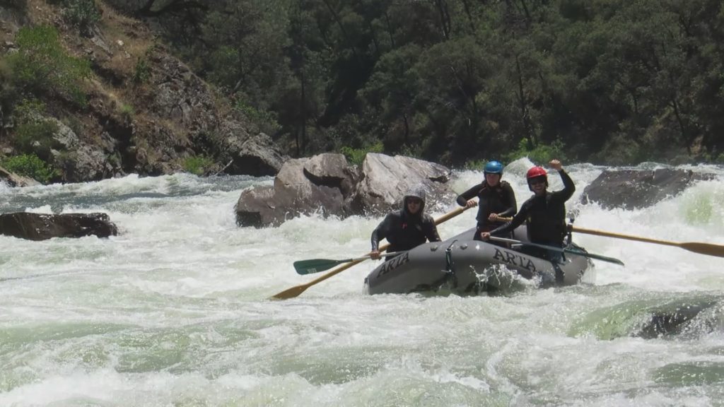
One, two and three day Tuolumne whitewater rafting trips are all fun. They all run the same stretch of river. The biggest difference is how much time rafters want to spend in the canyon.
One-Day Trips
One day trips are popular for people in the area visiting Yosemite and want to do some rafting. It is a full day on the river. Trips typically meet at 8 AM and finish around 6 PM in the summer. During high water trips can get back around 4 or 5 PM if the day goes smoothly.
Two-Day Trips
Two-day trips are historically the most common trips. This allows for two action filled days of whitewater and the opportunity to spend a night sleeping in the canyon. The extra time allows for some exploring up side canyons.
Three-Day Trips
Three day trips are a mini vacation with lots of time to lounge around in the canyon and get plenty of time to swim and explore the side canyons. Later in the summer is the best time for three day trips.
Scheduled Releases
One important note is that summer water releases of around 1100 cfs are typically only 3 hours long which means boaters have to keep moving downstream to insure they don’t get behind the “bubble” of water. Be ready to go when the water arrives at the Meral’s Pool put-in on the Tuolumne River for around 10 am. Rafters and particularly kayakers can get in front of the release if they move downstream too quickly.
Outfitter Spotlight

Sierra Mac River Trips
First rafting outfitter on Yosemite’s Tuolumne & Merced Rivers & pioneer on the Cherry Creek/Upper Tuolumne. Family run, locally based, mature guides, Tuolumne River specialists for over 50 years! Call us: (209) 591-8027
Tuolumne Rafting and Kayaking Itinerary:
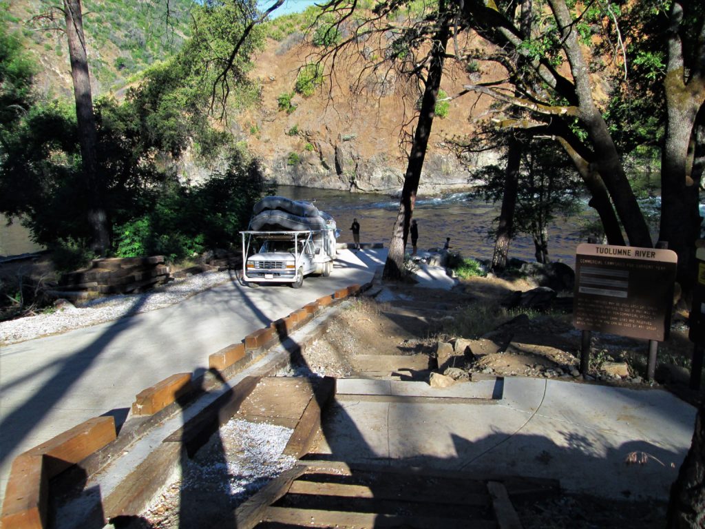
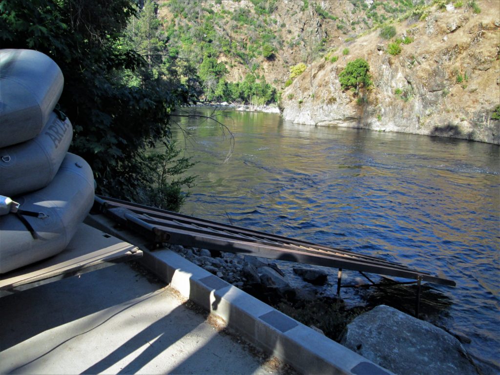
Put-in at the boat ramp at Meral’s Pool. Be sure to be efficient at the boat ramp because only one vehicle can use it at a time. This is also the take-out for the upstream class V whitewater run on the Upper Tuolumne, also known as Cherry Creek.
Mile 0: Meral’s Pool Put-in and Rock Garden Rapid (IV)
When rafting the Tuolumne River at low water, Rock Garden provides an excellent test to see if they are ready for the whitewater. Make sure you’ve brushed up on your unwrapping rafts skills before launching.
The next rapid right around the corner, Nemesis (mile: 0.4) is just as challenging at low water. Rafts that make it through both rapids without getting stuck should count themselves a little lucky and definitely skilled.
Mile 0.75: Sunderland’s Chute (IV)
Sunderland’s has a tricky entrance followed by some big features farther down the rapid that typically flip rafts from right to left at medium to high flows. At most flows there is not time to recover before the next rapid Hackamack’s Hole (mile: 1.0) which also has big features a higher water.
Mile 1.5: Ramshead (IV+)
Above 4500 cfs this rapid gets pretty tricky for as the water at the bottom all pushes to left into a raft flipping hole. Kayakers have an easier time missing the hole.
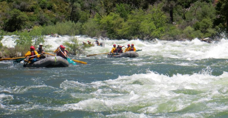
Mile 1.9: India Rapid (III+)
India is named after the first woman, India Fleming, who kayaked the Tuolumne River in July, 1969. Right after India Rapid at mile 2.1 is Phil’s Folly (IV+) which always has a tricky exit and is arguably the hardest rapid on the river at 10,000 cfs. Below Phil’s the river mellows out for a few miles. There is a nice place to pull over on river left at Tin Can Cabin (mile: 3.3) for lunch or to camp.
Mile 4.5: Sterns Rapid (IV)
The rapids start to build again just upstream with a couple class III rapids Screaming Right Hand Bend (mile: 4.1) and then Zach’s Falls (mile: 4.3) which lead to Sterns. There are 3 chutes at Sterns, none are very clean. Most rafts that flip first get bridged in the left chute. The name sterns comes fro the fact that many early river runners ended up rafting backwards through the left chute.
Mile 4.8: Evangelist (IV)
Evangelist is always a fun rapid. At low water there is a tight line between car sized rocks. As the flow increases they form two holes and there is still a line between the holes.
Mile 5.1: Frame Crusher (III+)
This is another fun rapid with a ledge on the bottom right. At high water (6000+) be careful of the sleeper hole downstream from here on river left.
Mile 5.6 Clavey Falls (V-)
Clavey Falls is the biggest test on a Tuolumne rafting trip. It was the original class V rapid in the late 1960’s. Today people are pushing the limits of class V to a much higher level but this is still a challenging rapid particularly between 6000 and 8000 cfs. The Clavey River also flows in here on river right. There are nice campsites on both sides of the river above the rapid along with spectacular hiking and swimming up the Clavey. There are Class IV-V and Class V+ sections on the Clavey. This is a choice summer camping site for rafting parties.
Video: Five Lines through Clavey Falls
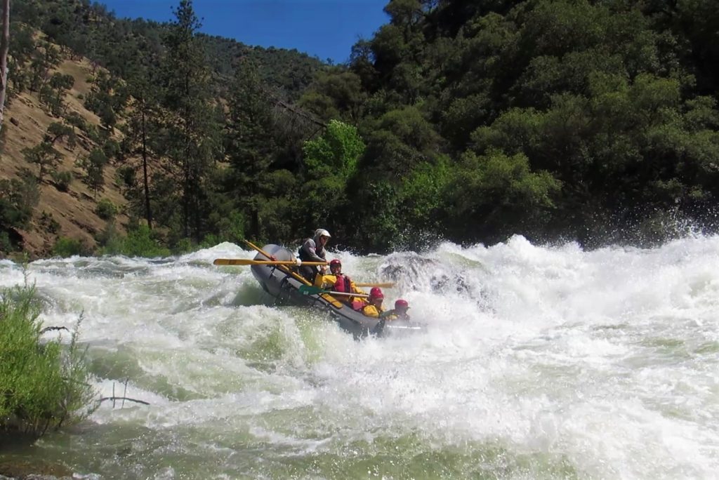
Mile 7.0: Little Niagra (IV)
A challenging boulder garden with a couple of great opportunities to wrap.
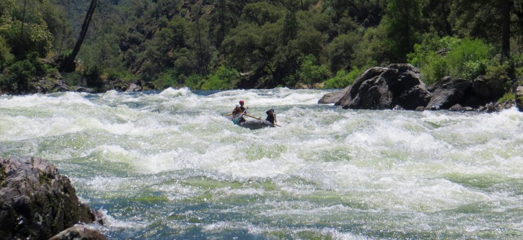
Mile 7: Powerhouse (II)
Powerhouse rapid has some fun waves at high water, rafts have flipped here. It is also nice camping spot on river right. The Powerhouse was built in the early 1900’s to provide power to the near by mines and Groveland. There is more camping the next few miles downstream. On river right there is camping and hiking at Grapevine Creek (mile 7.8). A little farther downstream is a large campsite downstream across from Indian Creek (mile 8.0).
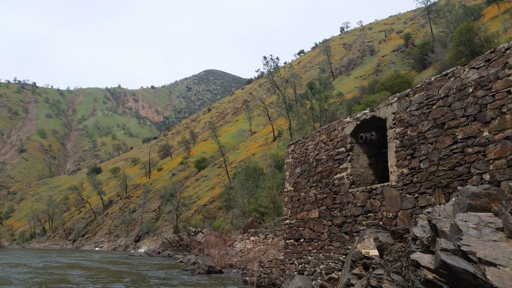
Mile 9.5: Grey’s Grindstone (IV)
This is longest rapid on the river. There is a tricky entrance then some fun boulder dodging in the middle and finishing with some waves at the bottom of the rapid.
Mile 10.8: Surf City (III)
Some fun surfing here (for rafts) at low water and fun waves at all flows.
Mile 11.4: Driftwood Paradise (III)
Just upstream of the rapid on the left are two nice sandy beaches for camping at low water. The rapid has some big rocks that need to be avoided. Luckily the current isn’t to fast so there is time to work right through the rocks.
Mile 12.6: Cabin (IV)
Cabin rapid has a big rock in the middle of the rapid that forms a pour-over at higher water. At the bend to the right Big Creek flows in on the left making a nice little hike in the spring when it flows.
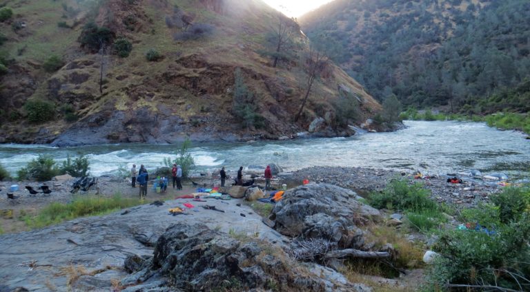
Mile 12.8: Hell’s Kitchen (IV+)
Below Big Creek the river enters Hell’s kitchen with a long splashy entrance followed by some narrow routes through big rocks at the bottom. Rafts have a physically demanding entrance move going right to left before Hell’s narrows down for the crux part of the rapid.
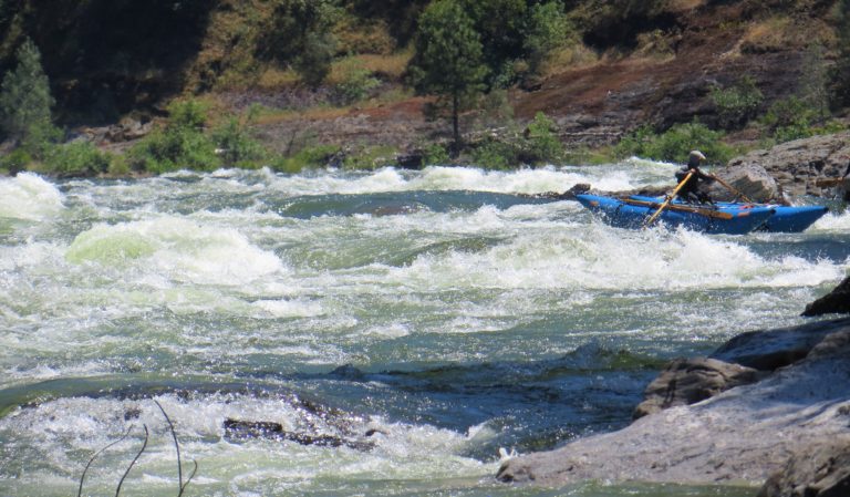
Mile 13.5: Playground (III)
Fun boulder dodging at low water which becomes hole dodging at high water. The rapid ends at the Mohican Mines where there is a campsite on river left. Just downstream at mile 15.1 the North Fork of the Tuolumne enters offering more camping and a fun side hike.
Mile 15.1: North Fork Tuolumne River
On river right, the North Fork of the Tuolumne River enters. The river is usually low enough to hike up to some nice swimming holes. During high water years there is a Class IV-V run down the North Fork.
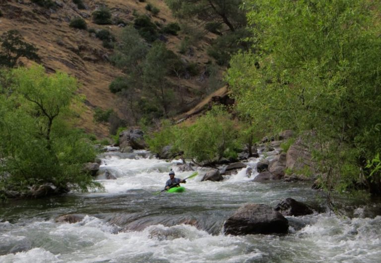
Mile 16.5 – 17.7: the Alps, Let’s Make a Deal and Pinball
Many times these rapids are under water when New Don Pedro Reservoir is high. When they are out Pinball, the last one, is challenging for rafts.
Mile 18.0: Take out – Ward’s Ferry
Don Pedro Reservoir is in the process of improving the take-out. At the moment the take out is the most challenging part of the trip particularly when the reservoir is low. If you are with a private raft group the carry up the hill can be daunting. Plan to spend some time here. After a few drought years in a row it is possible float from here down to Jacksonville Cut-off Road.
Tuolumne River Rafting – Frequently Asked Questions (FAQ’s)
The rafting season starts in late April and finishes when Hetchy Hetchy Water stops releasing flows in late August most years.
Yes, Tuolumne outfitters offer two and three-day trips where the nights are spent sleeping on the river. They also run 1 day trips for those with less time.
The Tuolumne River actually starts in Yosemite. The section that is rafted is outside the National Park. The meeting spot for Tuolume rafting trips is just over a 20 minute (16 mile) drive from the Highway 120 park entrance. There are float trips in Yosemite Valley.
Upstream is a 9 mile Class V section on the Upper Tuolumne River also called Cherry Creek that is run in a day or run in combination with the Tuolumne river to make for a multi-day rafting trip.
The best time to raft the Tuolumne River is in May when the wildflowers are blooming, the side-streams and waterfalls are flowing, and the river is a little higher than summer flows but not super like it gets in June after a snowy winter.
