Dolph Creek to Selway River Confluence
_________________________
Length: up to 22 miles / 1 or 2 days
Class: III-IV
Gradient: 40 ft/mile
Permits: none but need permit to camp on the Selway
Season: Spring and Summer runoff
Recommended Flows: around 700 to 2000 cfs approximately 25% of the flow on the Selway at Lowell
Shuttle: 2 to 7 hours / 6 to 22 miles by foot
Moose Creek Packrafting and Kayaking Overview
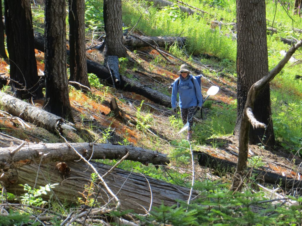
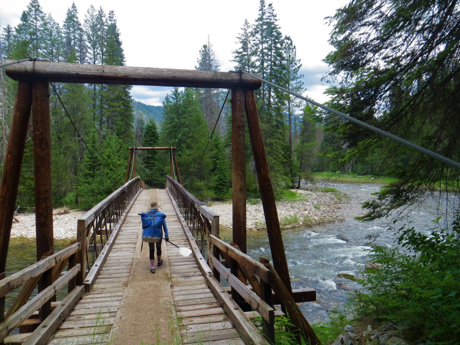
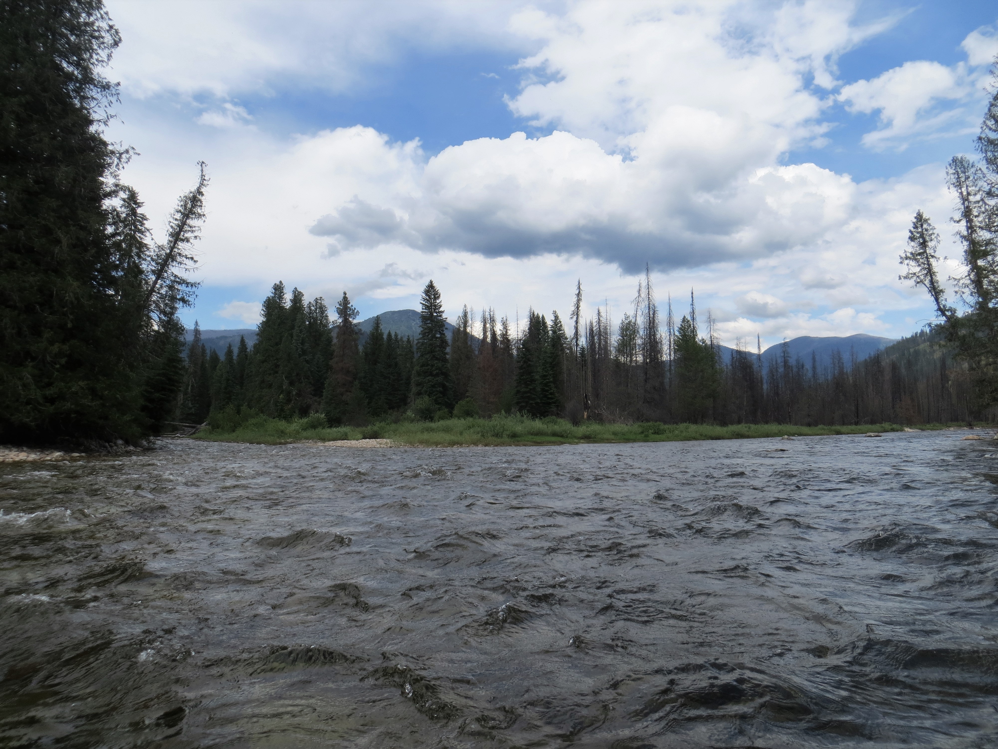
Moose Creek is a beautiful paddle. The difficulty is access. There is an unmaintained trail out of the Schumaker Campground near Darby. From the campground it is a steep decent into the canyon on a trail over grown with fireweed. An easier access is hiking up from the confluence of Moose Creek and the Selway River. The hike is pretty easy and takes a couple hours to get 5 miles up Trail 421 to a bridge over the East Fork of Moose Creek. The float from here to the confluence is class II+. The trail continues to run along the river all the way past Dolph Creek which is 22 miles by creek from the Selway River. There is a nice class IV gorge below Dolph Creek and then the river opens up until just before the confluence where there is a second gorge.
The next task is getting out of the canyon. At the confluence with the Selway a permit is needed to continue floating downstream and camping along the river. Paddlers are legally allowed to camp along Moose Creek and then paddle out from the confluence to Race Creek in a day. Alternatively, packrafters would be allowed to hike down the canyon and spend a couple of nights camping. The best option is to be lucky, draw a Selway permit and then layover at Moose Creek to hike up the canyon.
Highlights
Mile 0 (17 below Dolph Creek): Put-in
Put-in on river left just after crossing the bridge across the East Fork of Moose Creek. Or keep hiking up to another 17 miles upstream to Dolph Creek to run more of Moose Creek.
Mile 1.2: Confluence of East Fork and North Fork of Moose Creek
While paddling on the East Fork, the North Fork Fork of Moose Creek enters on the right. The next couple miles below here are mellow floating.
Mile 3.25: Seminole Ranch
Also called the Freeman Ranch, there are a large number of buildings on river right. Below here the river picks up a little gradient and the rapids get a little bigger.
Mile 4.1: Gorge above Moose Creek Bridge
The river gorges up here as it gets close to the Selway River.
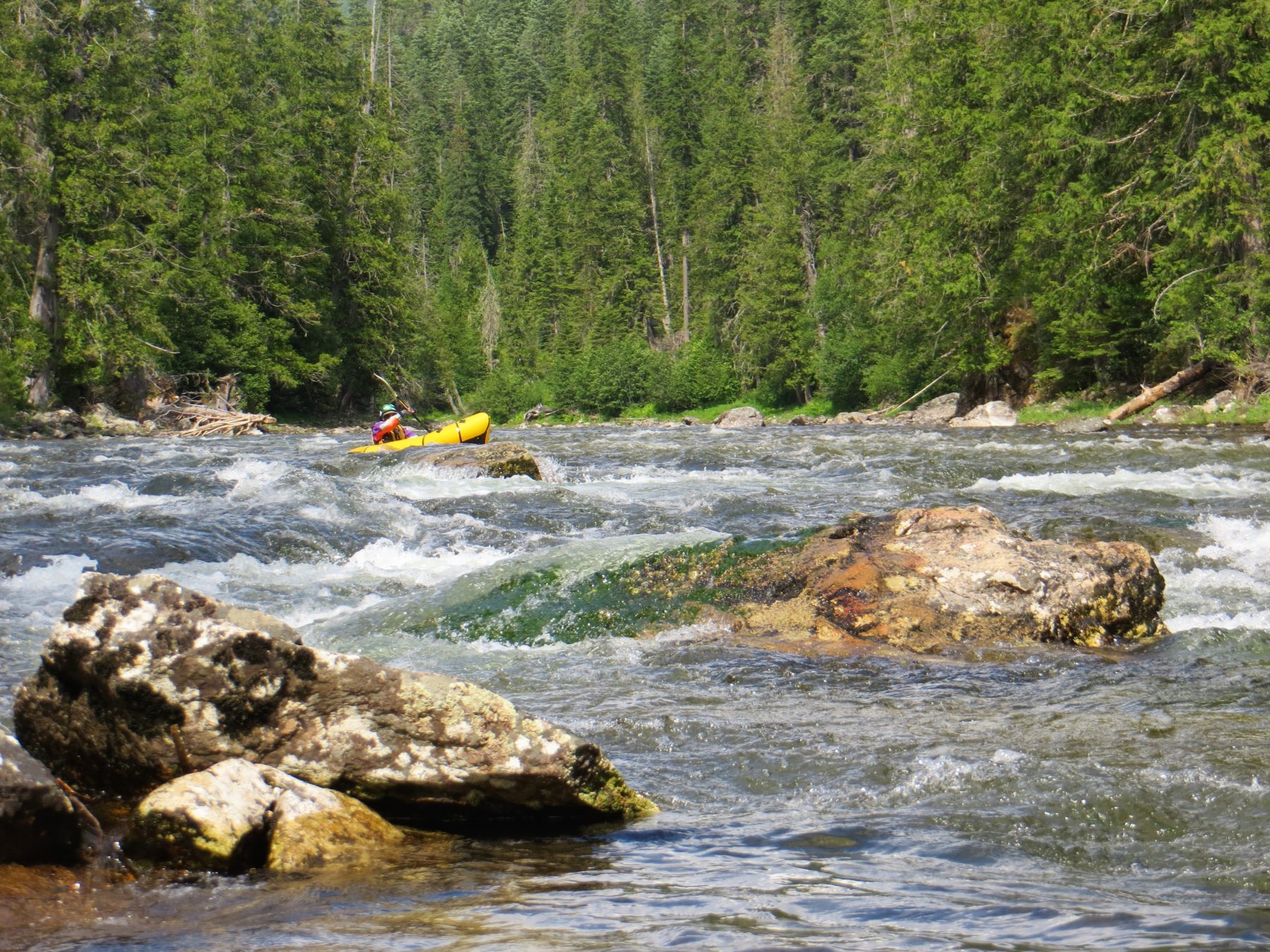
Mile 4.6: Moose Creek Bridge Rapid (II+)
Towards the end of the gorge there is a nice rapid underneath Moose Creek Bridge.
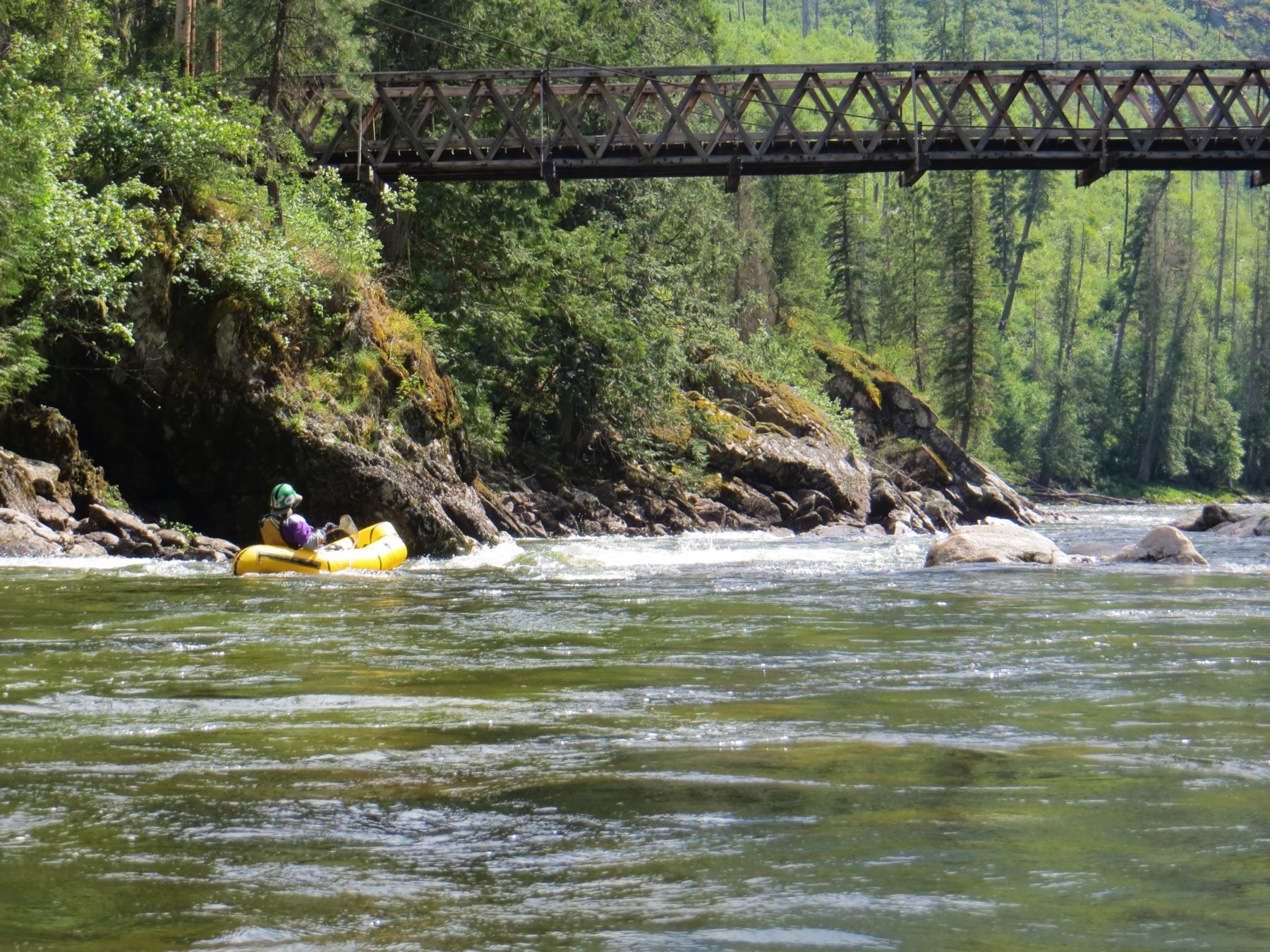
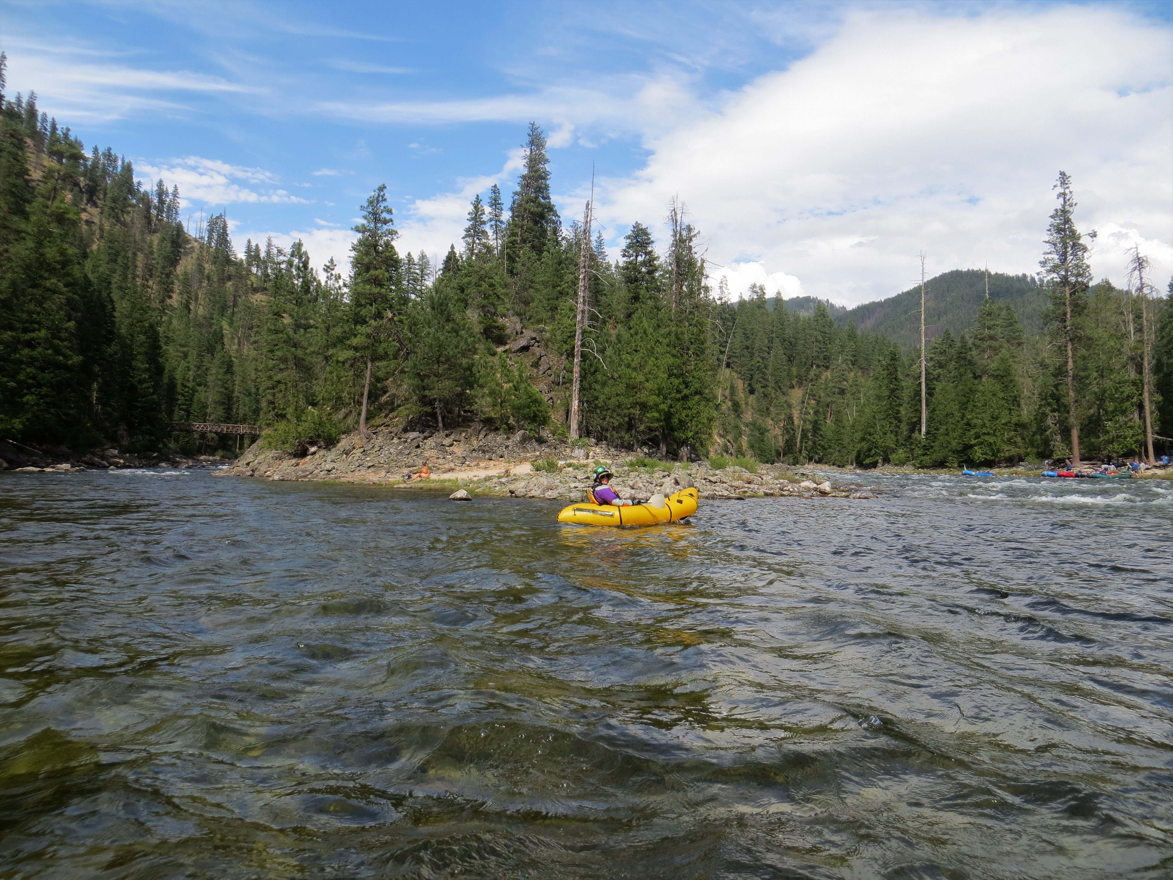
Mile 4.9: Confluence with the Selway River
Take out at the point here between the Selway River and Moose Creek. There is another take out a quarter mile downstream just below Divide Creek Rapid on river right.