Iowa Hill Road to Yankee Jim’s Road
__________________
Length: 5 miles (longer runs possible) / 1 day
Class: IV-IV+
Gradient: 50 ft/mile
Shuttle: 30 minutes/ 10 miles
Recommended Flows: 500 to 3000 cfs
Flow Information: flow at North Fork Dam
Season: Spring runoff
Permits: none
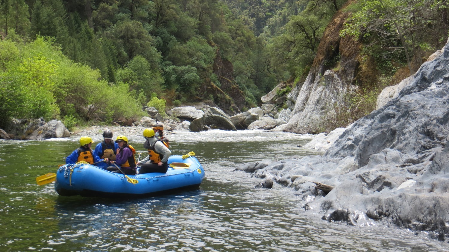
North Fork American Rafting and Kayaking Overview
The Chamberlain Falls section of the North Fork American River is a classic winter and spring whitewater rafting and kayaking run. The deep walled canyon is 5 or 6 class IV rapids interspaced with pools. At high water this narrow canyon gets dangerous and at low water there have been entrapment deaths.
While it is possible to raft and kayak 9 miles to Ponderosa Bridge (commercial take-out) or 14 miles to Lake Clementine, the best run is the first 5 miles taking out at Yankee Jim’s Bridge.
Video: North Fork American Rafting
North Fork Highlights
Mile 0: Put-in
Put-in at the Mineral Bar Campground just upstream from the Iowa Hill Bridge on river left. There are bathrooms and a nice path down to the put-in. There is a charge to park here and hide your valuables. This is the take-out for the 14 mile Class V Giant Gap run.
Below put-in is about a third of a mile of warm-up class II water. When the river makes a bend to the right catch the eddy on the right above Slaughter’s Sluice.

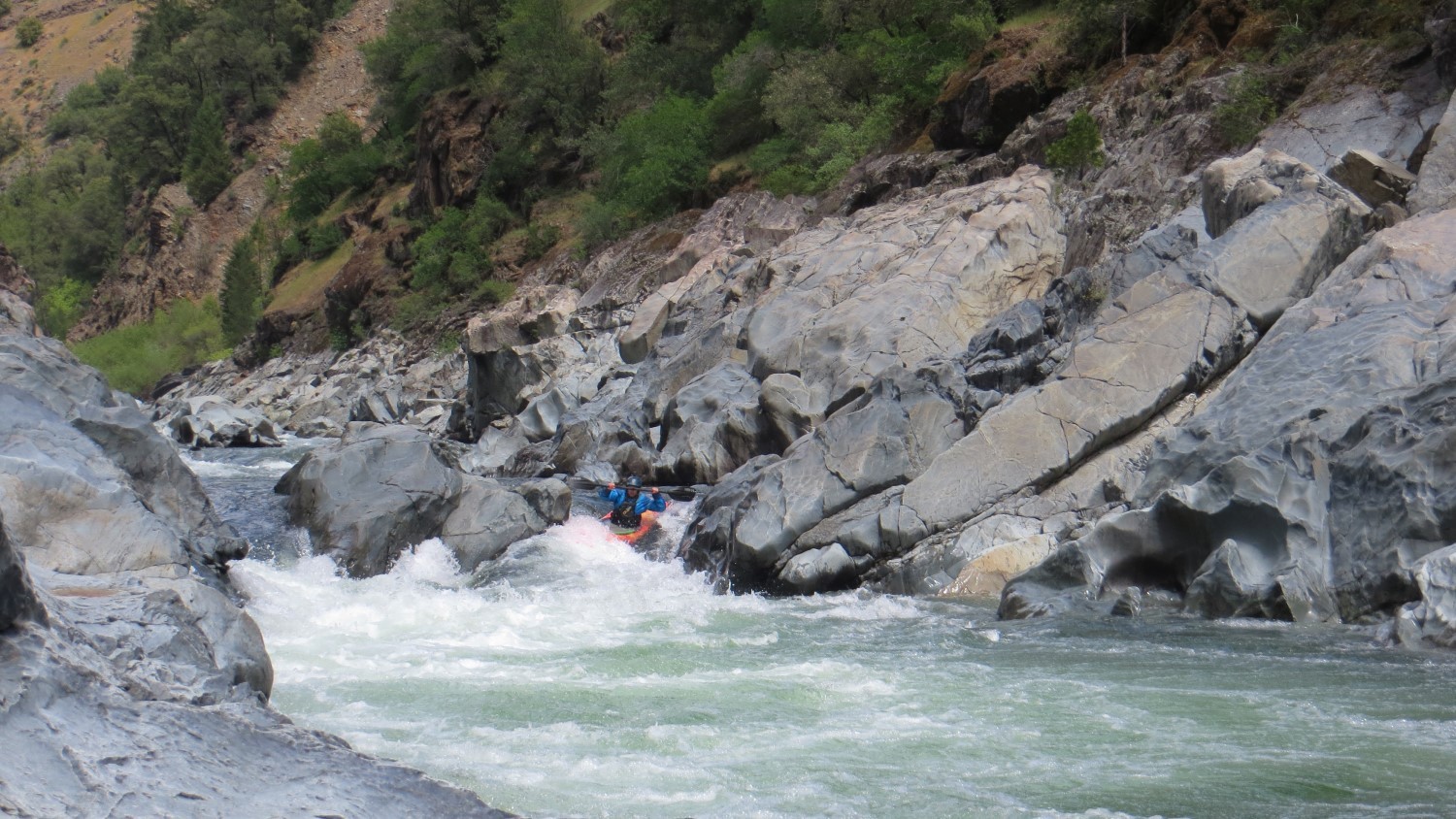
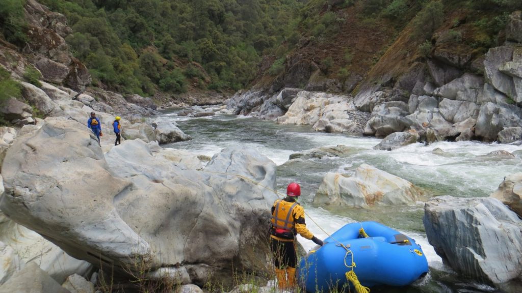
Mile 0.4: Slaughter’s Sluice (IV)
Slaughter’s Sluice is just under a half mile of boulder dodging and drops that leads to Chamberlain Falls rapid. There are a few single boat eddies in this section. The first move, seen in the photo above has caused many long swims.
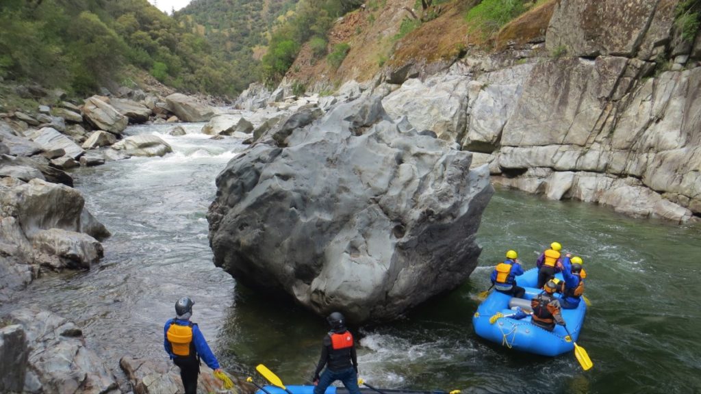
Mile .8: Chamberlain Falls (IV+)
Below 700 cfs 14-foot rafts have a difficult time running Chamberlain. There is a nasty eddy on river left at the bottom of the drop that is extremely difficult to exit when swimming or in a boat. Some trips set safety here on the left. As the river gets higher the preferred line is on river right.
There are nice eddies for recovery below the falls.
Mile 1.1: Tongue and Groove (III-IV)
After Chamberlain Falls is a fun little class III. Below it is a pool and the entrance to Tongue and Groove. There are 3 doors for Tongue and Groove. The middle door is most consistently the best choice. Beware of the Boulder Seive below the right door. The left door has a nice boof but the hydraulic gets sticky as flows increase.
Mile 1.6: Zig-Zag (IV)
A long fun rapid watch out for the sharp drops at the bottom. Nice eddies and a mile of mellow river awaits below.
Mile 2.3: Sticky Hole (III)
A sharp drop, this hole has surfed rafts at low water.
Mile 2.4: Achilles Heal (IV)
As the river bends to the left Achilles can be run on the left or the right. Running left avoid dropping of the ledge sideways.
Mile 2.7: Bogue Thunder (IV+)
By far, this rapid consistently causes the most problems on the run. Scout on river left. There are seives on river right and the center line contains the dreaded toaster slot. Line or walk on the left.
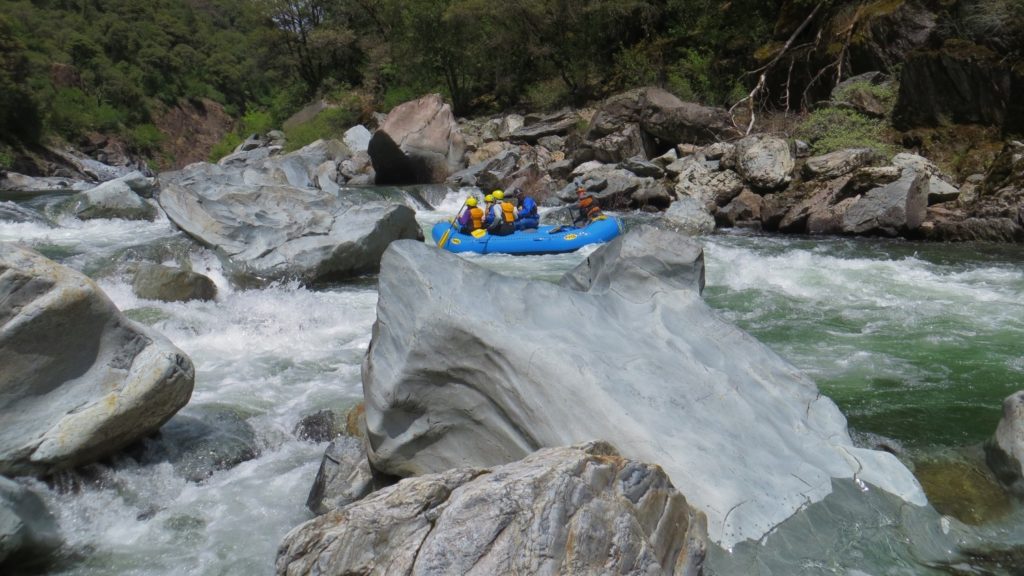
Mile 3: Grand Slalom (IV)
After a bend to the right enter Grand Slalom. While it looks like going right is best the move is to work left above the house sized rock. Below here is a drop through a narrow slot. It is easy to get spun sideways in the drop and bridge the slot. Below here is nice current down to Staircase.
Mile 3.3: Staircase (IV+)
A nice eddy on river right lays above some house sized boulders. From here the river disappears around the large boulders. Scout on river right. Nice eddies await below the rapid. After the pool is a fun little surfing ledge.
Mile 3.8: Indian Creek (on river left)
Indian Creek is a common stop for a snack. A short hike up the creek leads to a nice waterfall. The river below here is class II and II+
Mile 5: Shirttail Canyon Creek and Yankee Jim’s Road
Catching the “eddy” for the take-out below Shirttail Creek is tricky. A steep carry leads up to a cool bridge and nice views. Shirttail Creek is runnable at times class V. Below here the river is class II and a common spring run for less experienced kayakers.
Mile 9: Ponderosa Bridge Take-out
This is the commercial rafting take-out. A steep trail leads up to the bridge on river right just downstream of the bridge.
It is possible to continue on more class I-II to Lake Clementine. Early in the year the road to the top of lake Clementine is usually closed requiring a 2 mile paddle across the reservoir.
Mile 13: Lake Clemintine Take-out