Confluence of Middle and South Fork to Garnet Dike Campground
______________________________
Length: 10 miles / 1 or 2 days, can run 8 extra miles of the Garnet run to save 8 miles of driving on dirt road.
Class: V (1+ portage)
Gradient: 100 ft/mile
Permits: none
Season: Summer end of runoff
Recommended Flows: 700 to 2000 cfs near Rodgers Crossing
Shuttle: 3 hours one-way/ 90 mile drive plus a 1,360ft descent on the 3.6 mile Yucca Point Trail
Flow Information: estimate at Rodgers Crossing
All the photos are courtesy of Rosada Martin!
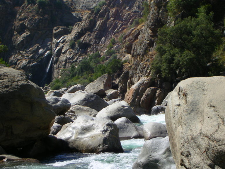
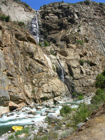
Garlic Falls Overview
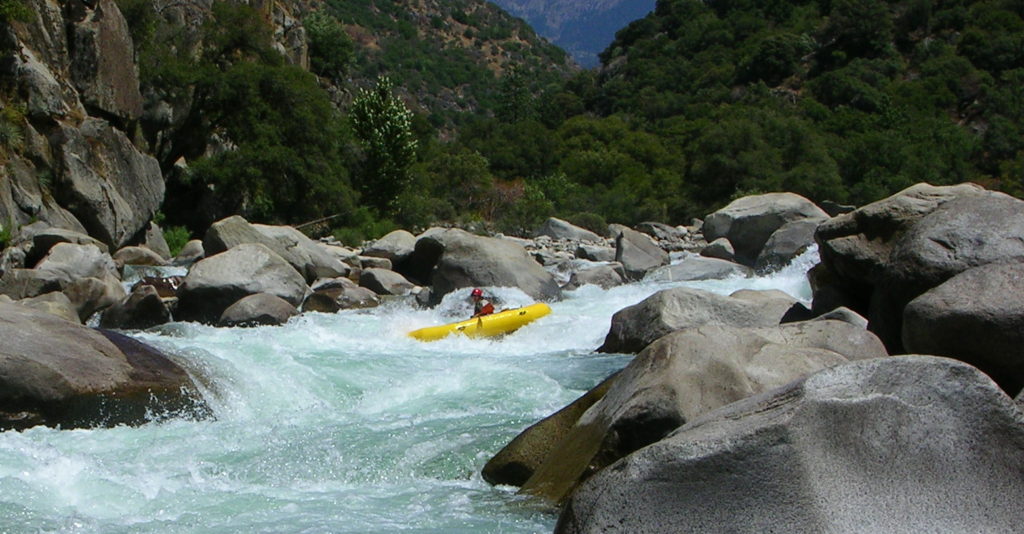
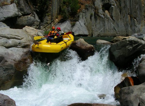
This is classic class V Sierra whitewater with huge granite rocks, waterfalls and crystal clear water. The Kings was designated Wild and Scenic in 1987. If your comfortable on Cherry Creek you’ll probably have a great time kayaking or rafting out here. Portaging or lining a few rapids makes the river much easier class V. It takes some commitment to get to the river: the shuttle is long and then there is the 3.6 mile carry down to the river.
Alternate Put-in
There are rumors that the class V+ unportagable “Fear and Loathing” on the South Fork of the Kings became easier after the high water of ’97. “Floating” the South Fork would add another 5 miles of river. More importantly you could drive to the put-in and avoid the back-breaking carry. Looking at photos and hearing stories, ideal flows would be 700 to 800 cfs and there would be a fair amount of portaging for a 14 ft raft but that sounds way better then carrying.
There is also discussion of a put-in below “Fear and Loathing” by lowering boats down a cliff. This is a couple miles above the confluence.
Camping on the River
If you are going through the effort to get all the way out there think about spending a night on the river as the scenery is spectacular. There is an epic campsite at low water across from Rough Creek. This is a classic wilderness river experience. With so many substantial rapids it’s nice to split them over two-days and have some time to enjoy the beauty.
Highlights
Mile 0: Put-in
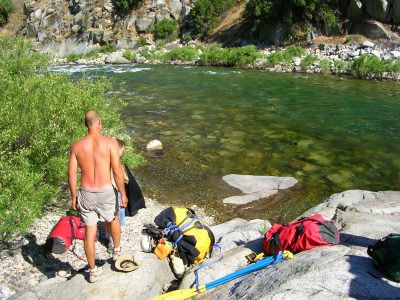
Put-in at the Confluence of the South Fork and Middle Fork of the Kings River. Enjoy a quick dip to cool off after dropping around 1200 feet on the Yucca Point Trail. Initially the river has some nice warm-up class IV.
Mile 2.5: Grizzly Rapid (V)
There is a lead in complex boulder garden above the big drop called Grizzly. There is a nice far right line.
Mile 3.2: Warp 2 (V)
Warp 2 is an obvious horizon line just downstream of “the Wall” a drop next to a granite wall on river right. The main drop at Warp 2 is intimidating, there is a cheat on river left.
Mile 3.3: Cassidy Falls (V)
There are multiple “fun” lines for Cassidy Falls. This rapid starts with a boulder garden just downstream from Warp 2. The easiest in a raft is probably the river right channel.
Mile 3.9: That’s Dumb (V)
Another big drop that depending upon flows has a hole that is not worth running.
Mile 4.5: Rough Creek Waterfall and Rough Creek Falls (V)
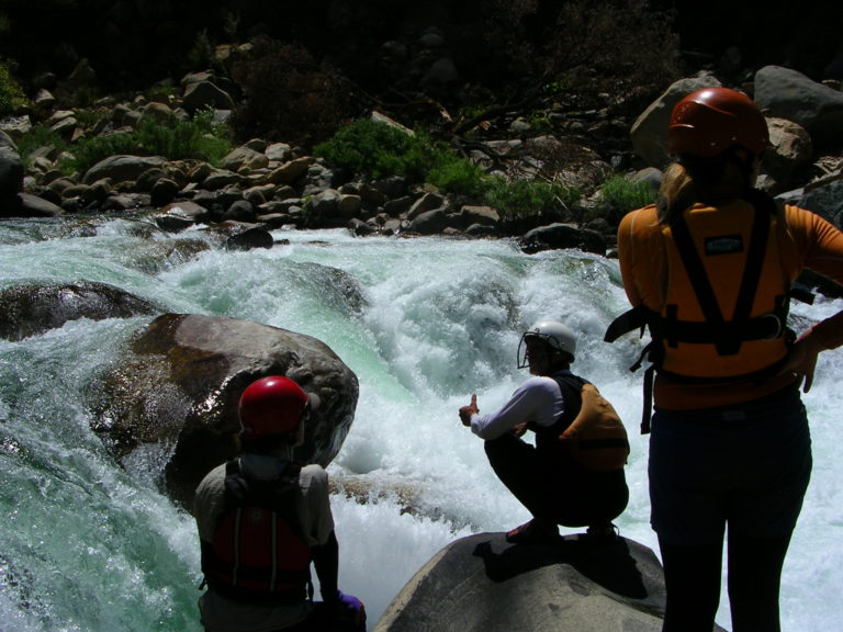
This is one of the most spectacular spots on any river. Looking downstream is a fun third of a mile of class V boulder garden that ends where Garlic Falls hits the river. Camping with some creativity can be found on river left across from the falls.
Mile 4.8: Garlic Meadow Creek Waterfall and Garlic Falls IV+
This is still part of one of the most spectacular spots on any river. A lifetime could be spent at this spot.
Mile 6.5: Hand of God (IV+)
Hand of God is the last big rapid. Below here the river mellows out and is class II – III.
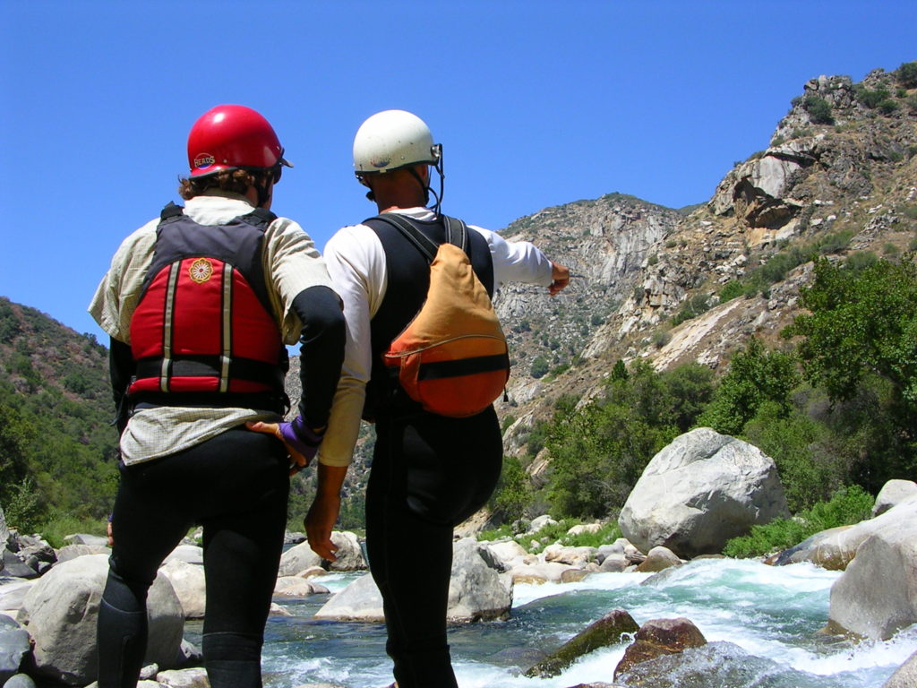
Mile 10: Take-out Garnet Dike Campground
It is a bit of a carry up the hill. Some people prefer to continue down the Bonzai class III run on the Kings to an easier take-out and decrease the amount of driving.
