Confluence of Secesh and SF Salmon to Vinegar Creek on Main Salmon
________
Length: 33 miles + 22 miles on Main Salmon, Usually 3 days
Class: IV+ (V at High Water)
Gradient: 40 ft/mile
Permits: Required to float out the Main Salmon, contact the Krassel Ranger District, 208-634-0600
Season: Spring/Summer depending upon snowpack
Recommended Flows: 1.5 to 4.5 feet, at Krassel
Shuttle: 4+hours/ 85 miles; much longer in the winter
Flow Information: 3 day forecast and long-term forecast
Overview
The South Fork Salmon River sits high on Idaho’s prestigious list of multi-day rafting and kayaking river trips with exceptional scenery, challenging rapids, and a remote feel. It’s fame is less than the Selway River and Middle Fork of the Salmon River mainly due to the shorter, less predictable season and the challenging whitewater.
For those with the skills, a high water run is a memorable trip. The key is hitting a desired flow. By early May the snowpack should be pretty well determined. Below 3′ the river is class IV/IV+. The difficulty increases dramatically with flows of 5′ and above where the river is class V with the possibility of long, cold swims.
Other Runs
There is an excellent packrafting loop trip trip with 25 miles of hiking/biking/driving from the Carey Creek take-out on the Main Salmon River to the upper put-in on the Secech River which sets up for running 75 miles of river. The 5 miles of the Secech above the confluence are class IV, the 15 miles above that are IV-V. There are additional runs upstream on the South Fork of the Salmon, the East Fork of the South Fork of the Salmon River and Johnson Creek.
Eligibility for Protection
Due to its highly valued qualities the Forest Service has designated the South Fork of the Salmon River as eligible for Wild and Scenic River status.
“More than 200 species of birds inhabit the drainage. Large mammals include Rocky Mountain elk, mule and white-tailed deer, black bear, cougar, mountain goat, bighorn sheep, and the gray wolf….The cool, clear waters of the South Fork and its tributaries support resident trout and nationally significant populations of anadromous (ocean-migrating) salmon and steelhead….The South Fork Salmon River contains the most important remaining habitat for summer chinook salmon in the Columbia River basin.” – US Forest Service
As of April 2018, American Rivers has the South Fork of the Salmon River sitting at fifth on their list of most endangered rivers in the United States due to the potential reopening of the Stibnite Gold Mine. The last 22 miles of the trip are on the Wild and Scenic Salmon River.
South Fork Salmon Rafting and Kayaking Highlights
Mile 0: Put-in
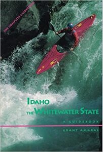
Put-in at the end of East Fork Road, 3 miles downstream from confluence of the Secesh and the South Fork Salmon River. There is lots of great paddling on tributaries in the area. Check out Idaho: The Whitewater State for more information.
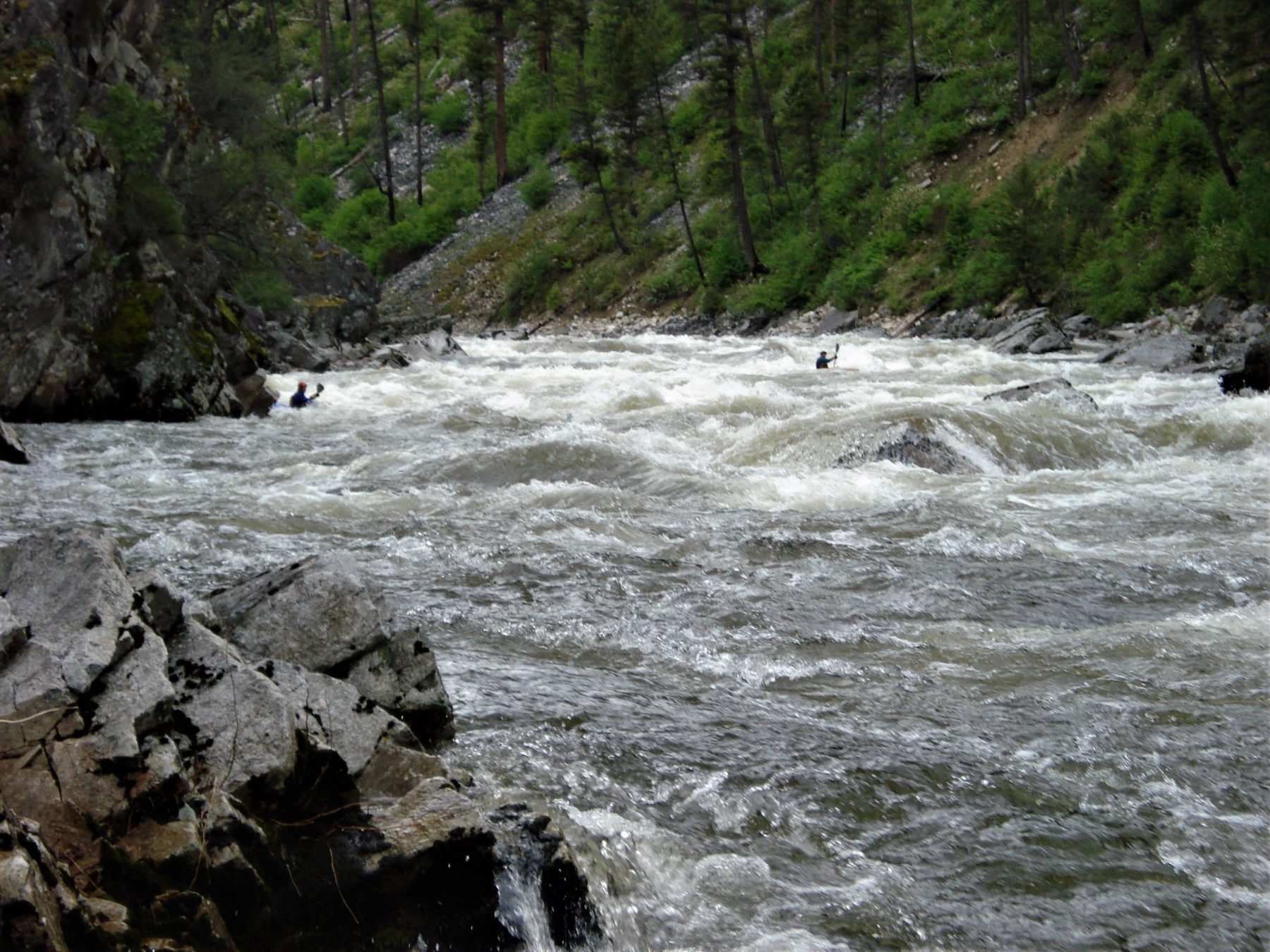
Mile 5: Devil Creek Rapid (V)
Devil Creek Rapid has a nice scout on river left. At high water look for a line along the right side of the river. A couple miles below the rapid there are good campsites but beware of the next big rapid, Surprise, at mile 8.
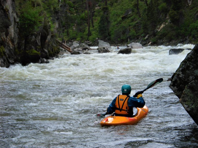
Mile 8: Surprise Rapid (V)
Scout Suprise Rapid on the left. The river is calm before making a sharp bend to the right above Surprise.

Mile 10: Elk Creek Rapid (V)
Another right handed bend entrance, Elk Creek is full of large holes at high water. The right side is typically a little more tame than the left. Scout on the left.
Mile 29: Fall Creek Rapid (V)
Fall Creek has 3 distinctive drops that do not allow time for recovery at highwater, the initial drop being the probably the toughest drop on the river. Scout the first drop from the cliff on river right.


Mile 32: Confluence with the Main Salmon
There is a beautiful campsite just above the confluence with Main Salmon River setting up to make all 22 miles to get out off the Main in one day.
Mile 54: Vinegar Creek Take-out
Take out at Vinegar Creek on the Main Salmon River. If the main is high Chittam Rapid (just upstream) is a great to finish your trip.
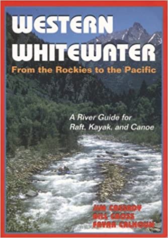
Recommended Books